
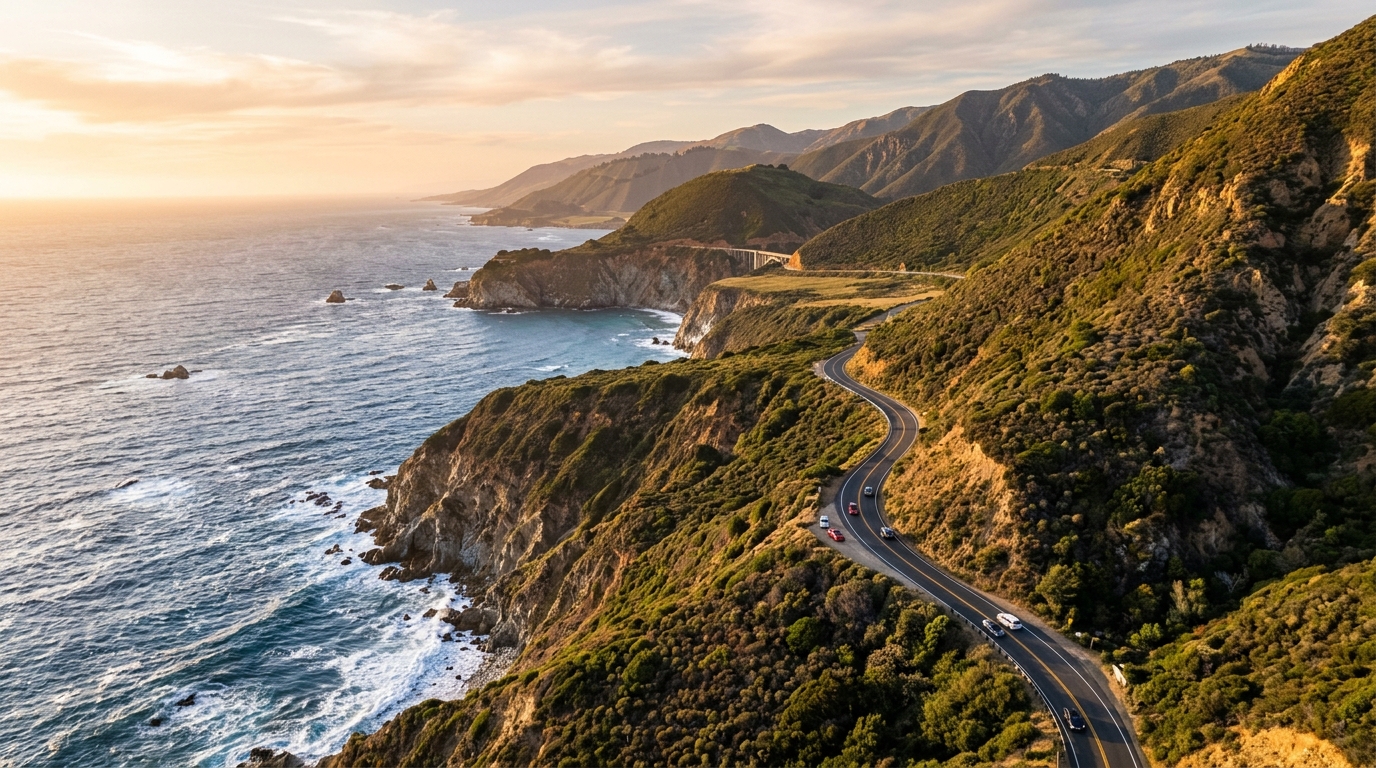
California’s Highway 1 through Big Sur is once again one of the most talked-about road trips in the state. After years of landslide-related closures and difficult detours, the iconic coastal corridor fully reopened in January 2026, restoring through access between the Monterey Peninsula and the San Luis Obispo County coast. The reopening has already brought a strong return of visitors, making Big Sur one of California’s most timely road-trip destinations this year.
That does not mean the best trip is the fastest one. Big Sur rewards travelers who slow down, leave room in the schedule, and treat the highway as the experience rather than simply a route between two cities. The coastline is dramatic, the pullouts can be busy, cell service is inconsistent in places, and road conditions can change after storms or slope movement. A little planning makes the difference between a stressful drive and one of the most memorable days in California.
If you are building a larger California itinerary, start with our California regions guide and things to do in California page. Big Sur fits naturally into a Central Coast road trip that can also include Carmel, Monterey, San Simeon, Cambria, and nearby wine-country stops.
Why the Big Sur Highway 1 Reopening Matters in 2026
For several years, travelers could still visit parts of Big Sur, but through travel was disrupted by repeated landslides and road damage. The final closure created a major break in the classic coastal route, forcing many drivers to turn around or take a long inland detour. The January 2026 reopening restored the continuous road-trip experience that made Highway 1 famous.
Caltrans reported in May that visitor traffic had returned sharply after the reopening. According to the agency, northbound traffic at Ragged Point had risen more than 900 percent year over year, while businesses along the corridor were reporting a strong rebound in visitor activity. That makes the reopening more than a transportation story. It is also an important moment for small hotels, restaurants, shops, parks, and communities that depend on travelers moving along the Central Coast.
Before leaving, travelers should check the official Caltrans Highway 1 information and current roadway conditions. Big Sur is a geologically active coastal environment, so weather, maintenance, rockfall, or new slope movement can still affect access.
What Changed After the Reopening
The biggest difference is simple: travelers can again plan a true point-to-point drive instead of treating northern and southern Big Sur as separate destinations. A road trip can begin around Carmel or Monterey, follow the coast through Big Sur, continue along the remote southern shoreline, and finish around San Simeon or Cambria without the major inland detour that disrupted the route during the closure years.
Restored through access also spreads visitors more naturally along the corridor. Travelers can stop at viewpoints, restaurants, lodging properties, parks, and small businesses throughout the drive rather than concentrating near whichever side of a closure remains accessible. For travelers, that means more itinerary flexibility. For communities along Highway 1, it provides an opportunity for a stronger tourism recovery.
Tourism Is Back, but Planning Matters
The reopening has brought crowds back quickly. Popular viewpoints can fill up, restaurants may become busy around peak meal times, and traffic can slow when large numbers of drivers stop for photographs. Avoid creating an itinerary that depends on arriving at every location at an exact time.
Big Sur works better when you select a few priorities and leave room for unexpected delays, coastal fog, wildlife sightings, or a viewpoint where you decide to spend more time. If you are traveling on a weekend or holiday, booking your accommodation earlier is also a good idea. Explore our California hotels and stays directory when planning the overnight part of your Central Coast trip.
Drive Conditions Can Still Change
Highway 1 may be open, but Big Sur remains a rugged environment. Rockfall, construction, storms, wildfire conditions, and routine maintenance can affect travel. Check road conditions again on the morning of your drive rather than relying on information you saw several days earlier.
Download offline maps, carry water, keep enough fuel in the vehicle, and do not assume you will have reliable mobile service throughout the entire route. Drivers should also use established turnouts instead of stopping in a travel lane. The best ocean views often appear suddenly, but a photograph is never worth creating a dangerous traffic situation. If a turnout is crowded, continue to the next safe stopping point.
Best Stops on a Big Sur Highway 1 Road Trip
A classic Highway 1 itinerary can easily become overloaded. You do not need to stop at every overlook to have an unforgettable road trip. Instead, consider structuring your day around several high-value experiences: one dramatic coastal viewpoint, one outdoor stop, a relaxed meal, and enough unstructured time to enjoy the road itself.
Travelers interested in hiking, beaches, forests, and recreation can also use our California parks and outdoors directory to find more outdoor destinations that can be added to a longer Central Coast itinerary.
Carmel to Big Sur
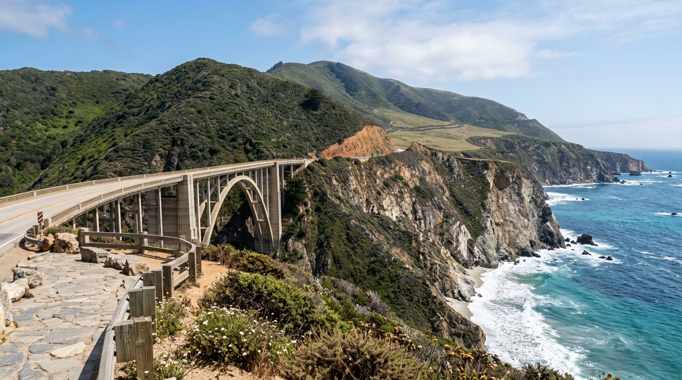
The northern section is one of the most recognizable parts of Highway 1. Starting around Carmel provides quick access to ocean views, famous bridges, steep cliffs, beaches, and forested landscapes. Bixby Creek Bridge is among the best-known landmarks along the drive, but it is also a location where parking and traffic can become crowded.
Use designated parking areas, remain well away from moving vehicles, and never block traffic for photographs. There will be other viewpoints farther along the coast if your first-choice turnout is full.
Continuing south, the landscape becomes increasingly dramatic as the Santa Lucia Mountains rise directly above the Pacific. Short distances can take much longer than expected because scenic stops become part of the journey. Pfeiffer Big Sur State Park is a useful change of scenery for visitors who want redwoods, trails, and forest landscapes after spending time along the exposed coastline.
Big Sur to Cambria
South of central Big Sur, development becomes sparse and Highway 1 begins to feel considerably more remote. This is one section where planning for fuel, food, and daylight becomes especially useful. Avoid beginning a long southern stretch late in the day if you still have several stops planned.
Ragged Point provides a natural transition between the remote Big Sur coastline and the communities farther south. Continue toward San Simeon and Cambria, where travelers will find more accommodation, restaurants, coffee shops, and other services.
If dining is part of your California road trip, browse our California restaurants directory and coffee and cafés directory to add local food stops to the route.
How to Plan a Better Highway 1 Trip
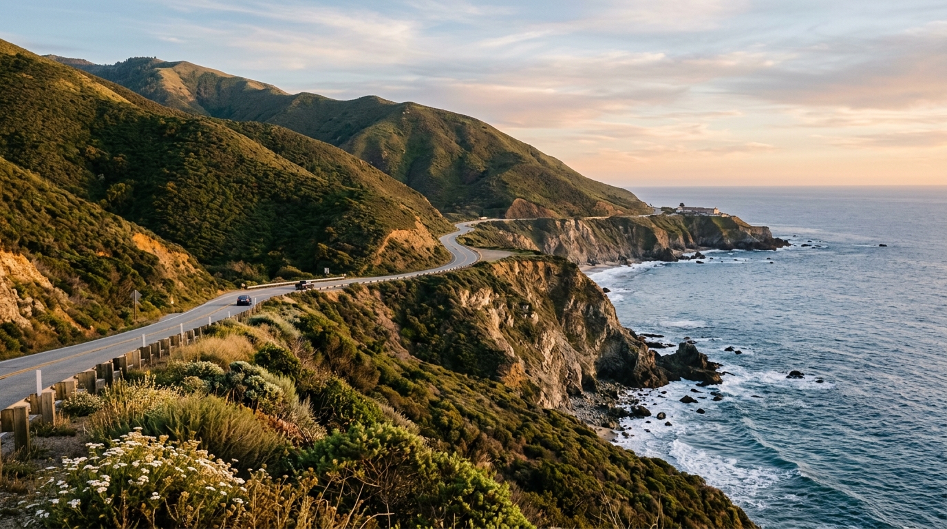
One of the easiest mistakes is treating Highway 1 like an ordinary highway. Distances on a map may appear short, but scenic stops, traffic, roadwork, curves, and slower vehicles can add significant time. A point-to-point Big Sur day should contain fewer fixed commitments than a normal driving day.
If you want to include a longer hike, a sunset viewpoint, and a relaxed meal, consider spending at least one night somewhere along the Central Coast rather than attempting a rushed out-and-back trip.
Weather also changes the visual character of Big Sur. A clear afternoon may provide enormous Pacific views, while coastal fog can transform the same landscape into a quieter scene of cliffs, forests, and mist. Fog does not necessarily mean the day is lost. Conditions can change rapidly over relatively short distances along the California coast.
Where to Stay, Eat, and Explore Along the Way
Travelers have several good ways to structure the trip. Carmel and Monterey work well as northern bases for people who want plenty of restaurants, hotels, shops, and additional attractions nearby. Staying in Big Sur itself is better suited to travelers who want to remain within the landscape and are comfortable with fewer services.
Cambria and the San Simeon area provide convenient southern bases and make it easier to continue exploring other parts of the Central Coast the following day.
For meals, avoid relying on a single restaurant at one exact time. Keep two or three possibilities in mind and verify current operating hours. Businesses in remote areas may follow different schedules than restaurants in larger California cities. Bringing water and a few snacks is useful as well, especially if traffic slows or you decide to stay longer at an outdoor stop.
Central Coast trip
A broader Central Coast trip can combine Highway 1 with beaches, state parks, small towns, local restaurants, wine regions, and other California experiences instead of simply racing between Los Angeles and San Francisco. The highway is at its best when it becomes part of the trip rather than just transportation between two endpoints.
The full reopening has made 2026 an especially interesting year to revisit Big Sur. Through access is restored, local businesses are welcoming travelers again, and the classic Central Coast road trip is possible from end to end. The smartest way to experience it remains the same: travel flexibly, check official conditions, select a manageable number of stops, respect private property and roadside restrictions, and give yourself enough daylight to appreciate one of California’s most extraordinary landscapes.
Ready to continue exploring? Visit our California local directory for restaurants, stays, attractions, parks, shopping, and services across the state, or explore our California regional guides to plan the next stage of your trip.