
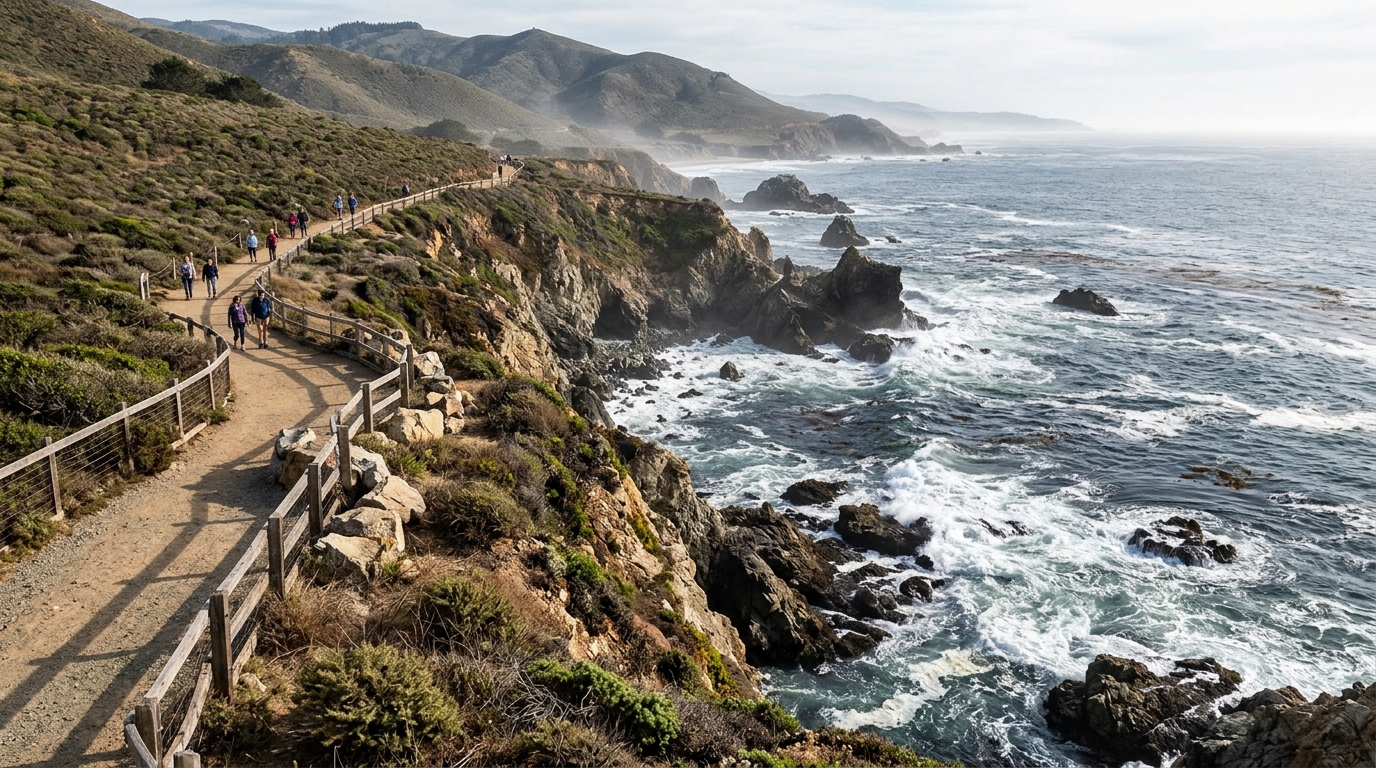
California king tides in 2026–27 give coast travelers a timely reason to look more closely at beaches, harbors and shorefront communities. The California Coastal Commission lists statewide periods of November 24–26 and December 23–25, 2026, followed by January 21–22, 2027. Northern California locations may have additional nearby dates. These are broad windows, not a promise that every coastal destination experiences its maximum high tide at the same hour or that flooding will occur everywhere.
This guide helps travelers plan safer observation and photography while explaining how predicted tides differ from surf and storm hazards. It connects the state’s varied regions through a common seasonal event without treating the entire coast as one uniform shoreline. Use current NOAA predictions and local agency warnings for your chosen place before driving out.
What makes a king tide different
A king tide refers to one of the highest predicted astronomical tides of the year. The phenomenon is linked to the alignment and relative positions of the sun, moon and Earth. It is not a standalone weather storm, and it does not automatically mean destructive flooding. Yet high background water levels can make waves or storm runoff more consequential in vulnerable locations. That is why coastal agencies encourage observation and documentation.
Real water conditions depend on more than astronomy. Wind, atmospheric pressure, swell and local geography can change what you see. A prediction from a nearby harbor station is useful but may not describe wave run-up at an open beach. Plan with both tide data and current coastal hazard forecasts.
Use dates as a planning window, not an exact schedule
The Coastal Commission’s statewide periods help identify when to start looking for local tide times. A visitor planning Santa Cruz, San Francisco Bay, Orange County or San Diego should check the relevant local NOAA tide station for a precise predicted time. If traveling between multiple destinations, do not assume the high-tide hour remains the same. Even nearby harbors can behave differently.
Read the time zone and prediction units carefully. Forecasts and agency alerts may update as the event approaches. Set a flexible departure plan and leave room for parking, walking and an alternative destination. A photography trip is more enjoyable when it does not hinge on reaching a risky location at the last possible minute.
For additional context, see our related guide: California State Parks camping rule changes in 2026.
Northern California viewing requires extra attention
Northern California shorelines include exposed headlands, rocky coves, bay waterfronts and estuaries. Some sites may have steep access or stronger wave exposure than a calm harbor photograph suggests. The Coastal Commission notes that northern locations can experience an additional nearby king-tide day. Check the local map and weather rather than assuming the statewide dates are complete for your trip.
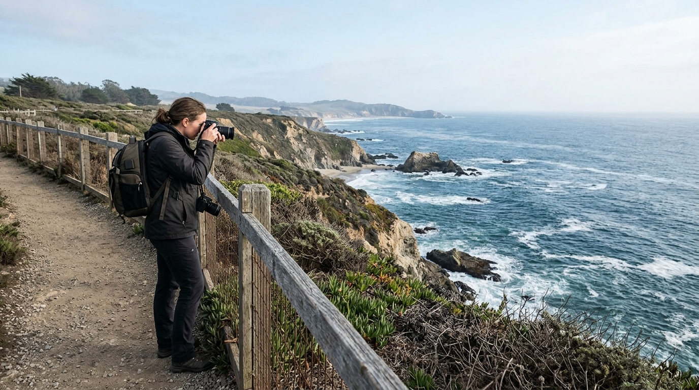
Choose elevated public viewpoints and keep well back from cliff edges and active surf. Avoid isolated beaches where a rising tide can cut off the return route. Cold water and rough seas create serious consequences for a misstep. An informative photograph from safe ground is a worthwhile result.
Southern California planning has different challenges
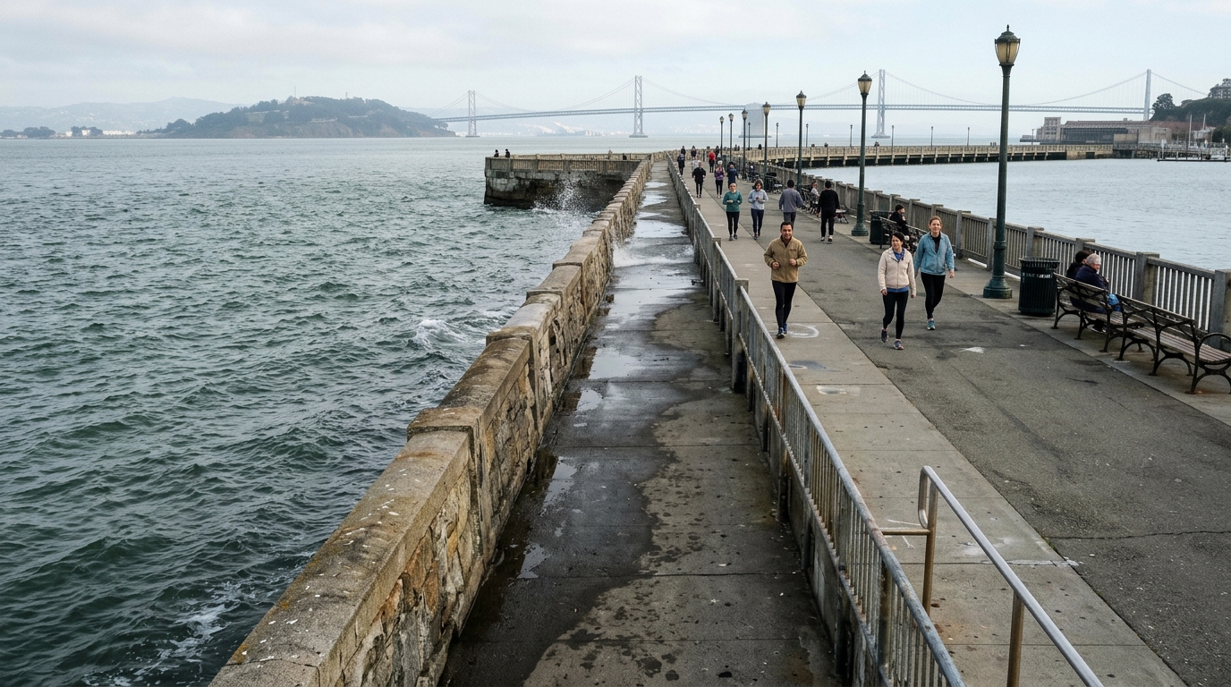
In Southern California, winter king tides may coincide with popular beach walks, holiday travel and busy parking areas. Harbors and urban coastal paths can offer accessible viewpoints, but specific low sections may flood or close. Respect posted barriers and keep emergency routes clear. Do not stop a vehicle in a traffic lane for a quick coastal picture.
If the group includes children or visitors with limited mobility, select a wide public overlook with a reliable route back. Check whether the beach path or park has operating hours, entrance fees or seasonal rules. The best destination may be the one offering easy access rather than the most dramatic cliffs.
Capture photographs that help tell the story
The California King Tides Project invites photographs that document where high water reaches familiar shorelines. Images can be more useful when they include fixed reference points such as stairways, seawalls, signs or established paths. Record location, date and time. If you return at a lower tide, photograph the same viewpoint for a clearer comparison. Follow the project’s submission rules and respect other people’s privacy.
Avoid exaggerated claims. One photograph cannot determine the long-term sea-level trend at a site, and a high tide does not prove permanent flooding. Explain the conditions that were visible when you took the image. Documentation should help people understand the coast rather than attract clicks through alarm.
Make the event part of a broader California day trip
A day built solely around a high tide may feel disappointing if weather blocks the view. Pair the observation with another attraction: a local museum, café, historic district or park that remains safe. Along the Central Coast, this could mean a town walk after viewing an accessible harbor. In the Bay Area, a waterfront observation can complement a nearby cultural visit. The same flexible principle works in Southern California.
If you are staying overnight, confirm campground or lodging policies separately. State park reservations, operating hours and coastal access rules can all change. Avoid assuming a booking grants access to a temporarily closed shoreline. Keep enough time to adjust without a long late-night drive.
Protect tidepools and coastal habitats
Some visitors also plan around low tides in the same lunar cycle. That can expose tidepool habitat, but safe access depends on the actual low-water window, surf and route. Do not mistake a king tide for an invitation to walk onto rocks during high water. Follow marine protected-area rules and avoid collecting, touching or moving tidepool animals. Slippery algae and unexpected waves are real hazards.
Photographing wildlife from a respectful distance can be as rewarding as close inspection. When a site posts habitat or safety closures, stay outside the boundary. Coastal landscapes are sensitive, and seasonal visitor interest should not increase damage to fragile intertidal ecosystems.
For authoritative details and any subsequent updates, consult California Coastal Commission King Tides Project. Official notices take precedence over a general guide.
Know which sources to check immediately before departure
The California Coastal Commission maintains the statewide king-tide schedule and photo project. NOAA tide predictions are the starting point for local astronomical timing. The National Weather Service reports hazardous surf and coastal flood conditions, while cities, ports and park agencies control specific public access. Use the source that answers your actual question and recheck close to the visit.
Avoid relying on a screenshot forwarded without a date. A local warning may apply only to a short section of coast or a particular time. Read the full message and follow official restrictions. Good information habits are part of responsible travel planning.
When conditions are too dangerous to observe
If surf is large, a pathway is flooded or a coastal flood warning affects your plan, leave the shoreline and choose a safer activity. Do not drive through standing water, climb around barriers or walk toward a wave for an image. Conditions may deteriorate after the expected high-tide time as weather changes. Emergency response and public safety come before recreational photography.
Tell your group before leaving home that postponing is an acceptable outcome. A clear alternative removes pressure to take risks after a long drive. King tides recur; a missed date is preferable to injury or damage. You can still learn about the event using official photographs and educational resources.
California king tides 2026–27 offer an opportunity to connect coastal travel with observation of natural processes. The most useful plan is simple: identify the statewide window, verify your local tide time, choose a safe elevated public viewpoint and check surf and access conditions again before leaving.
Keep photographs accurately labeled and respect shoreline habitats. This guide is a planning aid rather than a live hazard notice. Official state, federal and local information should determine what is appropriate at the exact place and time you visit.